
Nonprofit, space startup launch global wildfire detection satellite network
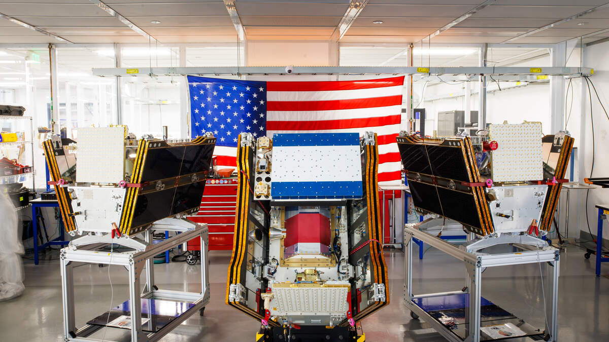
California’s fight against increasingly destructive wildfires took to orbit Tuesday with the launch of the first three operational FireSat satellites from Vandenberg Space Force Base. It marks the beginning of a global wildfire detection network that developers say will give firefighters and researchers faster, more detailed wildfire data.
FireSat, developed by the nonprofit Earth Fire Alliance and built by Mountain View-based Muon Space, is the first satellite constellation designed specifically to detect wildfires. The network is expected to expand to more than 50 satellites by 2030, providing firefighters with near-real-time information on where fires ignite, how they spread and how intensely they burn while creating a standardized global dataset for researchers.
“Fire doesn’t respect borders or boundaries, so sharing this data amongst different jurisdictions, amongst different states, amongst different countries is really important to us,” said Ann Kapusta, Earth Fire Alliance’s community engagement lead.
To develop the system, Earth Fire Alliance conducted hundreds of interviews firefighters, incident commanders and scientists worldwide to identify gaps in existing fire data, Kapusta said. The organization now works with 16 “early adopter” agencies, including the state of California through Cal Fire, to refine the system before it becomes fully operational.
One data gap FireStat could fill is the frequency of satellite observations, said David Shoemate, a geospatial analyst with the Texas A&M Forest Service, another early adopter.
Current satellite systems may revisit the same area only twice a day, Shoemate said, because they were designed primarily for weather monitoring rather than wildfire detection. Once FireSat’s full constellation is deployed, it is expected to provide updated observations every 20 minutes or less.
“FireSat will be able to detect smaller fires than what the existing platforms can detect,” Shoemate said. “Possibly as small as 5 meters by 5 meters, whereas with most of the other platforms we’re looking at several hundred meters potentially.”
Because small fires can grow rapidly, Shoemate said, receiving information like that could save lives.
Earth Fire Alliance is supported by various philanthropic foundations, including the Bezos Earth Fund which pledged $26 million in June. Google has also been involved both as a research partner and through funding.
Gov. Gavin Newsom said in a statement Tuesday Cal Fire’s involvement with FireSat helps make up ground lost after President Donald Trump’s cuts to wildfire preparedness funding across the country.
“We are proving that when we invest in science, in technology, and in one another, we can turn the tide on these fires and build a safer, more resilient future,” Newsom said.
This story was originally published July 8, 2026 at 6:01 PM with the headline "Nonprofit, space startup launch global wildfire detection satellite network."