Heavy rain, high winds headed to San Joaquin Valley
A storm seen only once every few years – the kind that combines heavy rain with high winds – is expected to clear the fog when it hits Northern California on Wednesday night.
Some Valley cities are predicted to get as much as 3 inches of rain, mostly Thursday, but the storm should weaken as it travels south.
Merced might get a little more than an inch of rain, and Modesto is estimated to get about 1.5 inches. A little more should fall the closer you get to the foothills, according to the National Weather Service.
The foothills could see as much as 5 inches of rain and the Sierra is expecting 1 to 3 feet of snow above 6,000 feet.
There is also the potential for thunderstorms Thursday and Friday, which could add an inch or two to the totals, said weather service meteorologist Eric Kurth.
What’s unique about this Gulf of Alaska storm is “it’s probably the windiest storm in the Valley in the past several years,” Kurth said.
The weather service predicts sustained winds of 25 to 40 mph, with gusts up to 60 mph in the foothills.
That means there’s a high probability of power blackouts and downed trees. The winds certainly will blow more leaves from the trees, clogging storm drains and causing localized flooding.
In Merced, there has been 0.91 inches of rain in December. It’s not a lot, but the December storms have pushed the rainfall total for the season to 2.27 inches. Normal for the season at this point is 2.51, so the approaching storm could put rainfall amounts well above that level.
Recent storms have dropped enough rain and snow at higher elevations that waterfalls at Yosemite National Park – such as Yosemite Falls, Bridalveil Fall and Cascade Fall – are going full force again, the National Park Service has reported.
The warm storm that hit last week brought rain to the Sierra Nevada below 9,000 feet of elevation, with snow falling higher up. Unlike that system, forecasters are expecting the new storm to be much colder as it moves out of the Gulf of Alaska, bringing more snow to lower elevations.
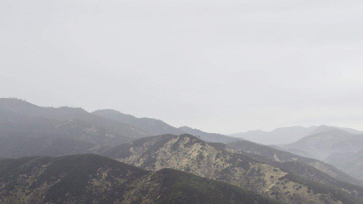
Apart from power blackouts and flooding, the weather service is warning foothills residents of the potential for mudslides in recent burn areas where the soil is loose.
Emergency services officials are recommending that everyone keep a radio, flashlights and fresh batteries handy and prepare an emergency kit with items such as blankets, water and nonperishable food.
BE READY FOR THE STORM
▪ Make sure gutters are cleared so water has a place to drain.
▪ Secure loose outdoor objects such as patio furniture and Christmas decorations.
▪ Drive slowly and give yourself extra time for delays from flooding.
▪ Never drive over downed power lines. The wires might be live and are dangerous.
▪ Don’t attempt to enter flooded roads. They might be deeper than they look.
▪ Drive a safe distance from other vehicles, especially RVs, trucks, buses and trailers, which can swing out and hit you in the event of a sudden wind gust.
▪ Monitor updates to the forecast at www.weather.gov and get emergency information at http://stanemergency.com.
This story was originally published December 8, 2014 at 8:40 PM with the headline "Heavy rain, high winds headed to San Joaquin Valley."