Caldor Fire grows minimally near Tahoe as winds stay calm, but spot fires linger
READ MORE
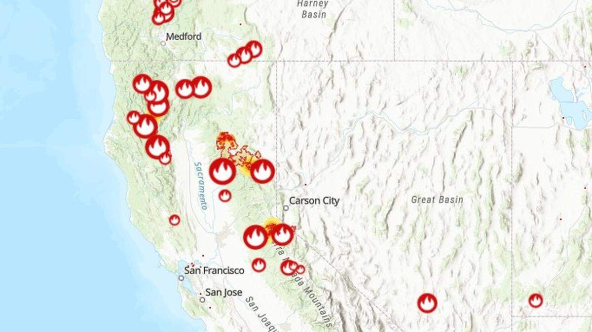
California Wildfires
The latest on the wildfires burning in California. Get updates on the Caldor Fire, Dixie Fire and others, including size, containment, evacuation orders and more.
Expand All
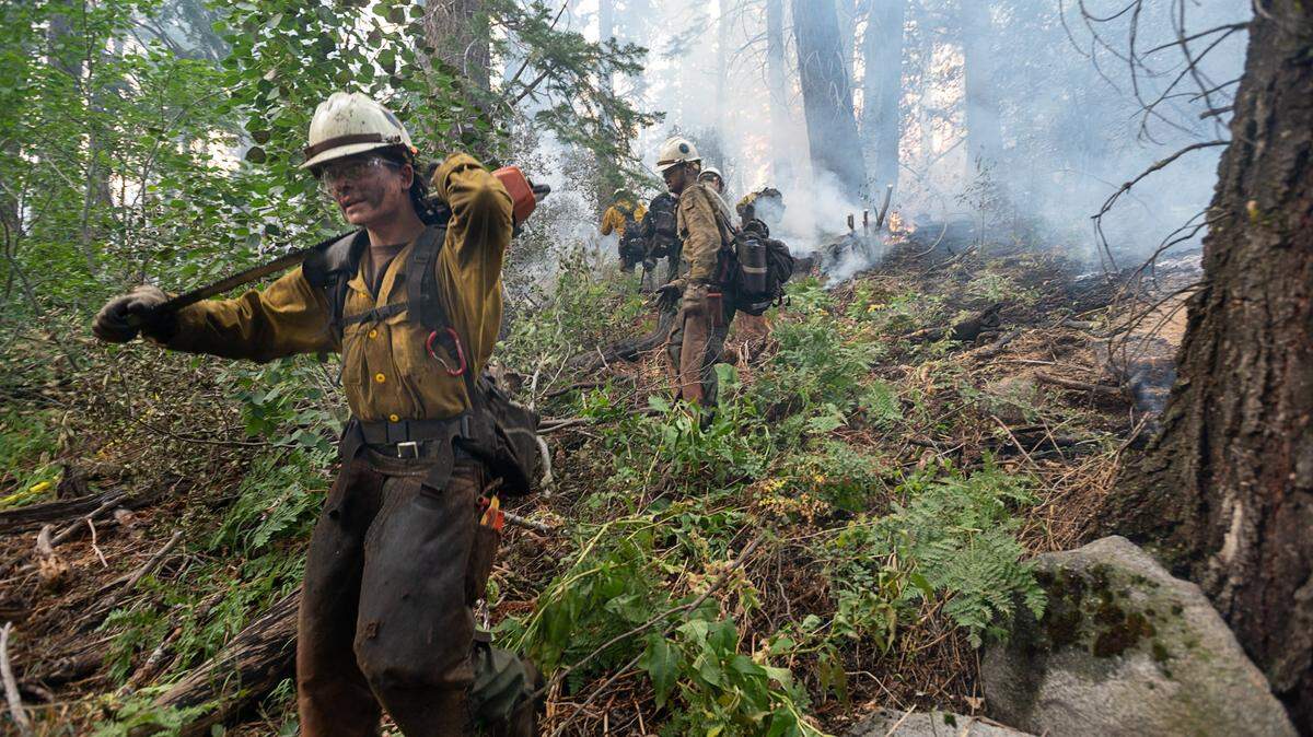
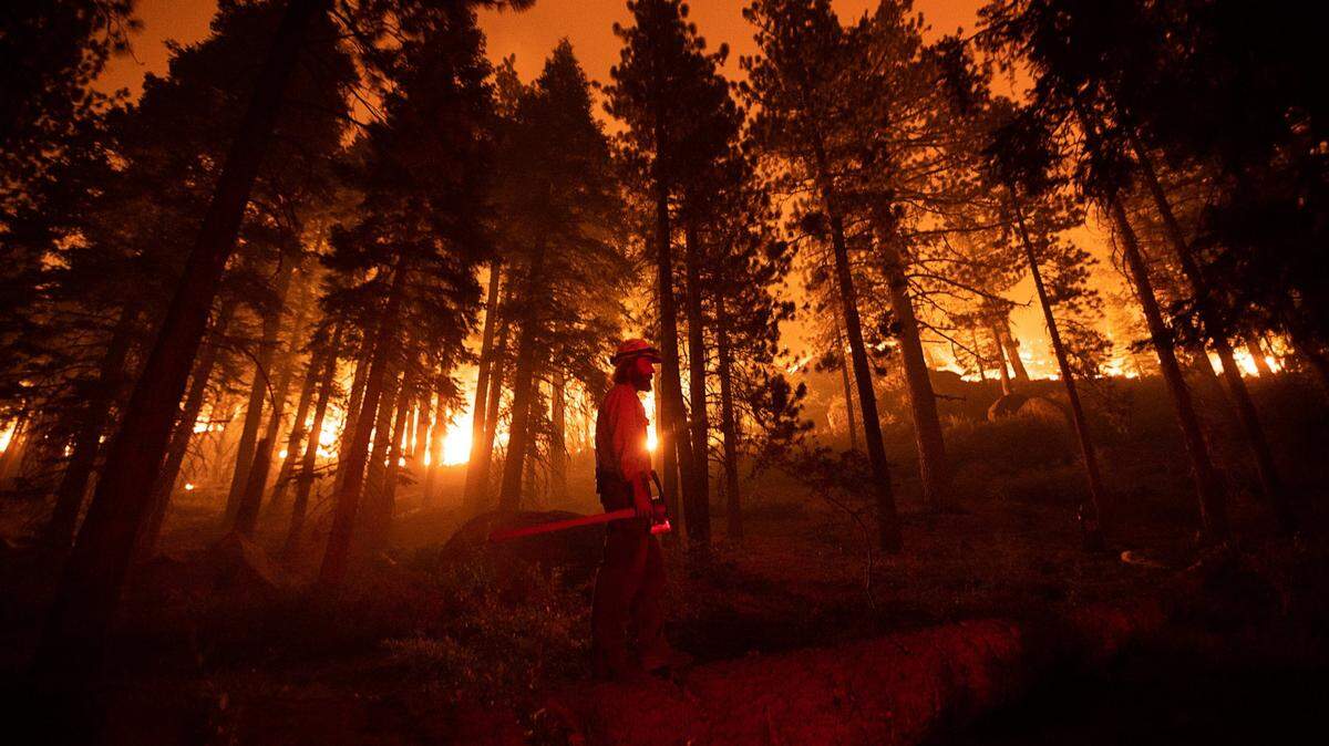
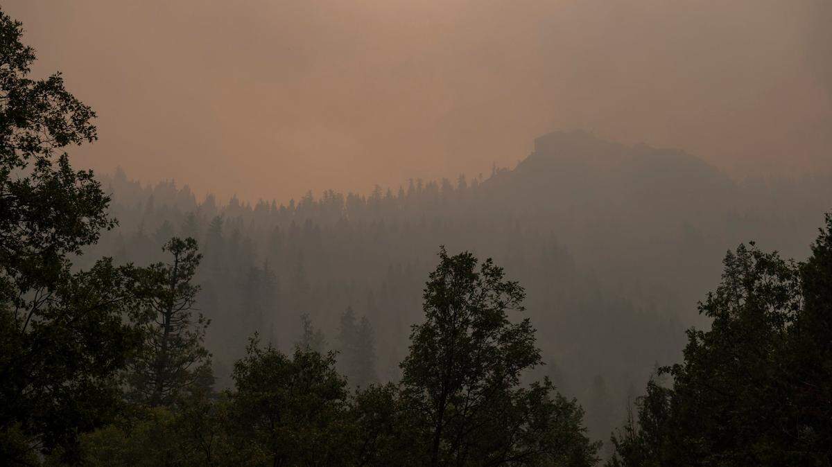
Crews made good progress on containment lines and saw limited growth on the Caldor Fire late Thursday, as weather conditions at the Lake Tahoe Basin continue to improve late in the week.
The blaze is now 212,907 acres (333 square miles), Cal Fire and the U.S. Forest Service said in a Friday morning incident report. The fire grew by less than 3,000 acres and containment increased from 25% to 29% since Thursday morning.
The city of South Lake Tahoe as well as communities to the south in the Lake Tahoe Basin and along the west shore of the lake remain under mandatory evacuation orders. Evacuations are also still mandatory across nearly all of eastern El Dorado County, as well as in parts of Douglas County in Nevada, including the communities of Kingsbury and Lake Village.
The four major casinos in Stateline have closed their floors to gamblers, though they remain open to fire personnel for use in operations planning.
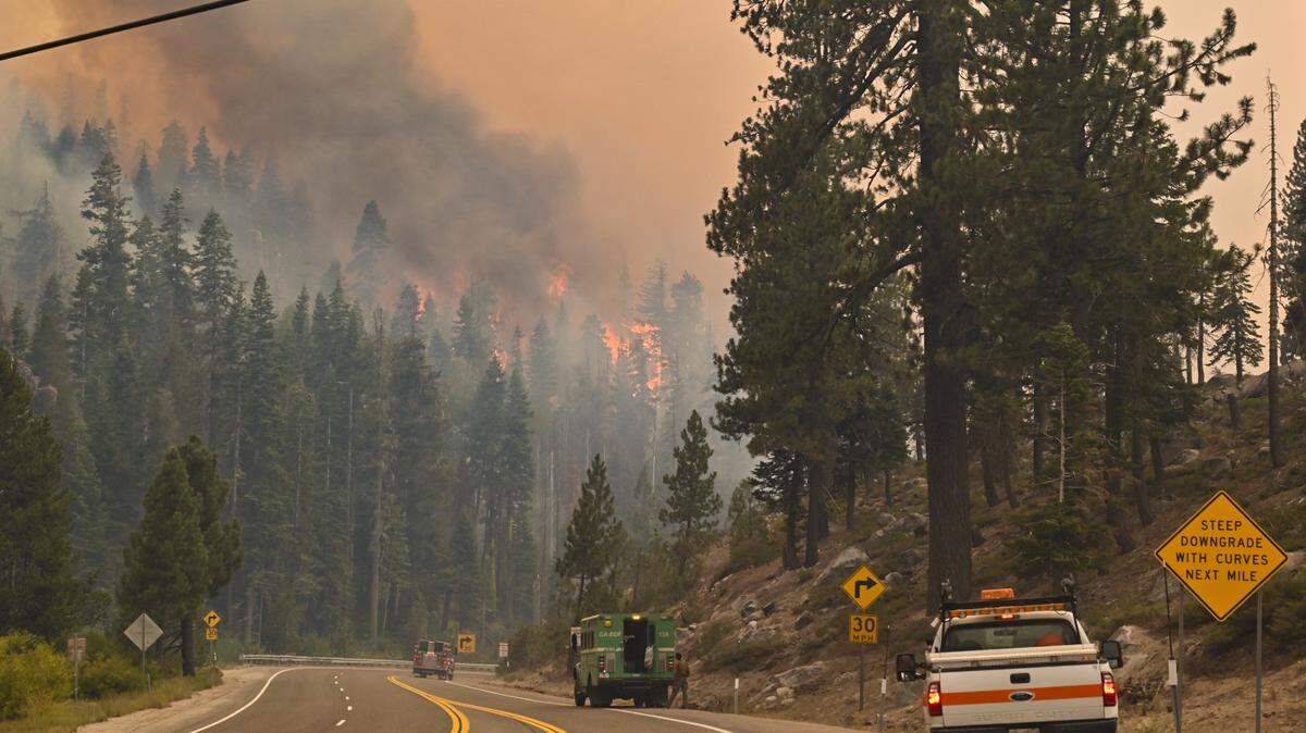
The fire earlier this week hopped Highway 89 just south of Meyers, driving to the northeast about a mile east of Pioneer Trail amid gusty winds Monday through Wednesday. Cal Fire officials said Thursday and Friday that dozer lines and other containment efforts have done a good job so far in protecting subdivisions of homes in the basin.
But the fire is still presenting some challenges.
“Spot fires from the wind event two days ago continue to be found and firefighters engaged when safe to do so,” officials wrote in Friday’s situation report.
On the west end of the fire, closer to where it ignited, authorities on Wednesday reduced evacuation orders to warnings for portions of the Pollock Pines and Camino areas. Orders were reduced in those regions north of Highway 50.
One area south of Highway 50, specifically north of Starkes Grade Road, east of Snows Road and west of Fresh Pond, was downgraded to an evacuation warning zone, Cal Fire announced Friday afternoon. Also downgraded to an evacuation warning zone was south of Pleasant Valley, between Bucks Bar Road and Newtown Road, east of Bucks Bar Road to Mt. Aukum Road, which includes the area of Gopher Hole Road and Moonshadow.
On Friday evening, Cal Fire announced other areas on the west end of the Caldor Fire were downgraded to an evacuation warning. Those areas were:
▪ South Sly Park: south of Starkes Grade Road, north of Sly Park Creek, east of Pleasant Valley Road up to and including the Diamond Garnet subdivision.
▪ Grizzly Flats West: east of Highway E16, west of Steely Ridge Road, south of the north fork of the Cosumnes River and north of the middle fork of the Cosumnes River.
▪ Happy Valley: All properties accessed from Happy Valley Road.
Also on Friday afternoon, Caltrans announced that the eastbound closure on Highway 50 was moved from Sly Park Road in Pollock Pines to 3 miles east in Fresh Pond.
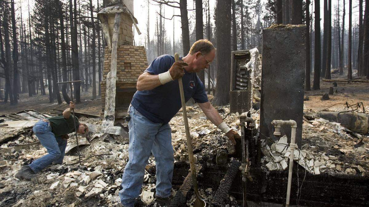
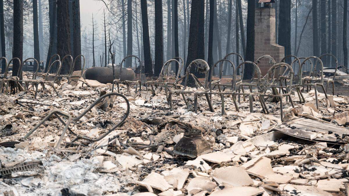
The fire started Aug. 14 south of Pollock Pines and south of the town of Grizzly Flats. The town of about 1,200 people was largely destroyed during an intense initial run of the fire.
Cal Fire now reports the Caldor Fire has destroyed at least 661 homes, along with 12 businesses, many of them in Grizzly Flats.
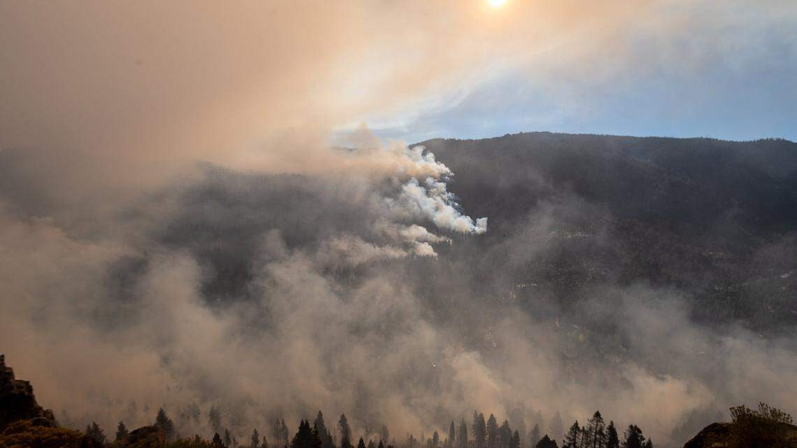
Fire burning near Kirkwood
Another area of concern this week has been the Kirkwood Mountain Resort area.
Cal Fire in its Friday morning update said “minimal fire growth” occurred on that flank of the fire overnight. The fire has burned to the western edge of Lake Kirkwood, mapping shows.
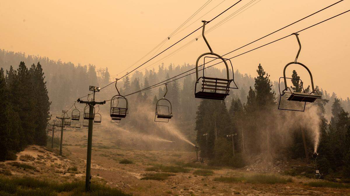
Several ski resorts — Kirkwood, Heavenly and Sierra-at-Tahoe — reported using their snowmaking machines this week in efforts to protect their slopes and infrastructure.

Water advice for those returning home
The El Dorado Irrigation District is advising that residents repopulating, as orders are lifted in places like Pollock Pines, run their tap water for a few minutes upon returning home.
“Water that has remained in service lines during evacuation periods can result in customers detecting taste and odor issues that may be easily addressed by flushing the taps,” the district wrote.
Irrigation district officials say the water is safe to drink, as distribution piping was not affected by the Caldor Fire.
This story was originally published September 3, 2021 at 8:06 AM with the headline "Caldor Fire grows minimally near Tahoe as winds stay calm, but spot fires linger."

.JPG)