Update: Maps show where the River Fire continues to burn as containment reached
READ MORE
River Fire Updates
Read the latest stories on the River Fire, burning along the Mariposa and Madera county border in California.
Expand All
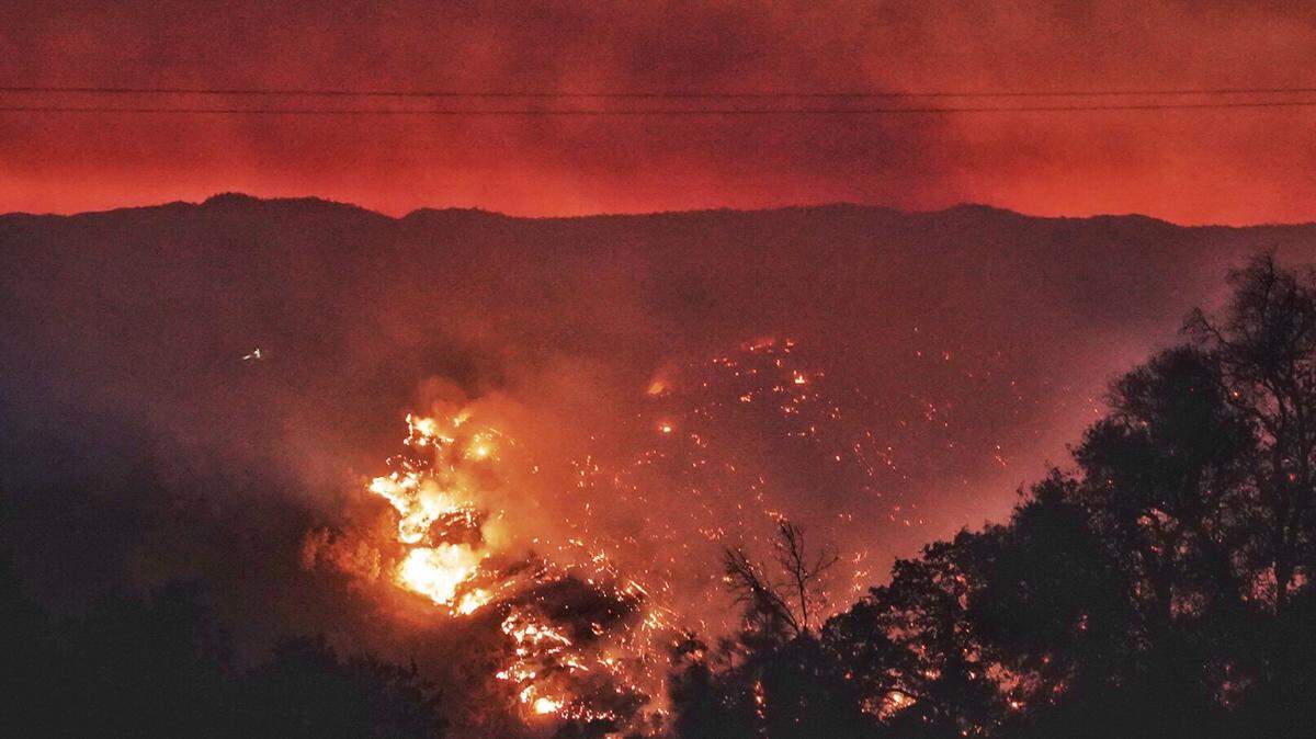
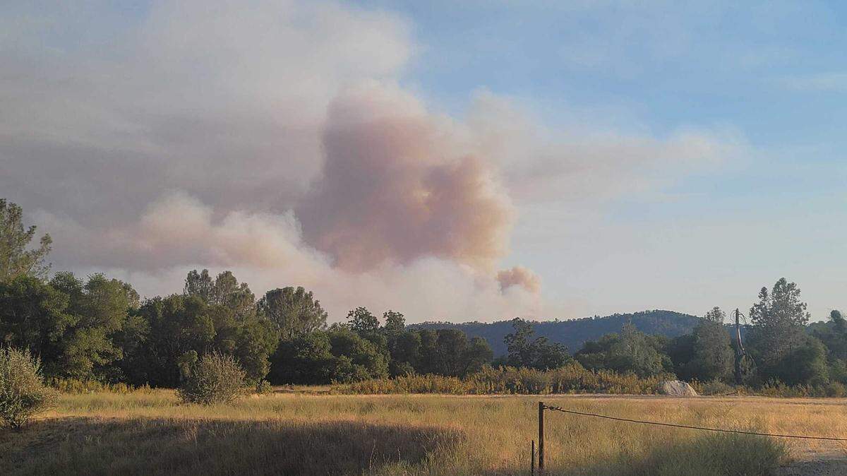
Tuesday, July 20: The River Fire burning in the central Sierra Nevada foothills remained at 9,600 acres as of Tuesday morning, holding steady as firefighting crews declared they achieved full containment with lines around the wildfire.
Over the course of last week, the wildfire expanded to the east, and the fire that began July 11 in Mariposa County has crept to within a couple of miles of the town of Ahwahnee. It’s also within about four miles of the community of Nipinnawasee. Both Madera County towns sit along Highway 49 – and both were heavily damaged by another fire 60 years earlier.
Containment was estimated at 100% on Monday evening.
The fire area is southwest of Yosemite National Park. It was first detected Sunday afternoon in the area of Oak Grove Road and Oak Grove School Road, about 10 miles southeast of Mariposa and nine miles north of the Madera County town of Raymond.
All evacuation orders, warnings and road closures in place were were lifted late last week as those areas are no longer threatened by the fire’s spread.
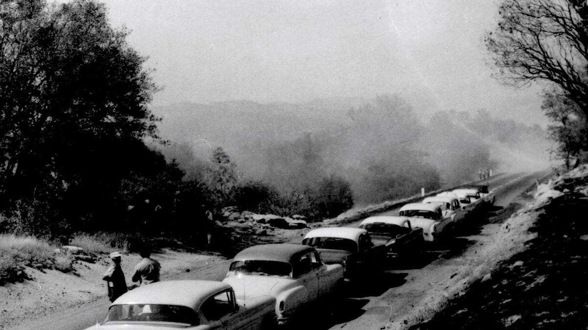
The River Fire burned within the general area of where the deadly Harlow Fire scorched more than 43,000 acres in a matter of days in Mariposa and Madera counties in July 1961. That fire which started on July 11, 1961, devastated the towns of Ahwahnee and Nipannawasee, and killed two people whose car stalled on a back road as they tried to flee the wildfire.
This story was originally published July 12, 2021 at 10:47 AM with the headline "Update: Maps show where the River Fire continues to burn as containment reached."