5 things to know about the River Fire burning in Sierra Nevada foothills
READ MORE
River Fire Updates
Read the latest stories on the River Fire, burning along the Mariposa and Madera county border in California.
Expand All
This story was last updated at 7::05 p.m. July 12. For latest updates, see fresnobee.com.
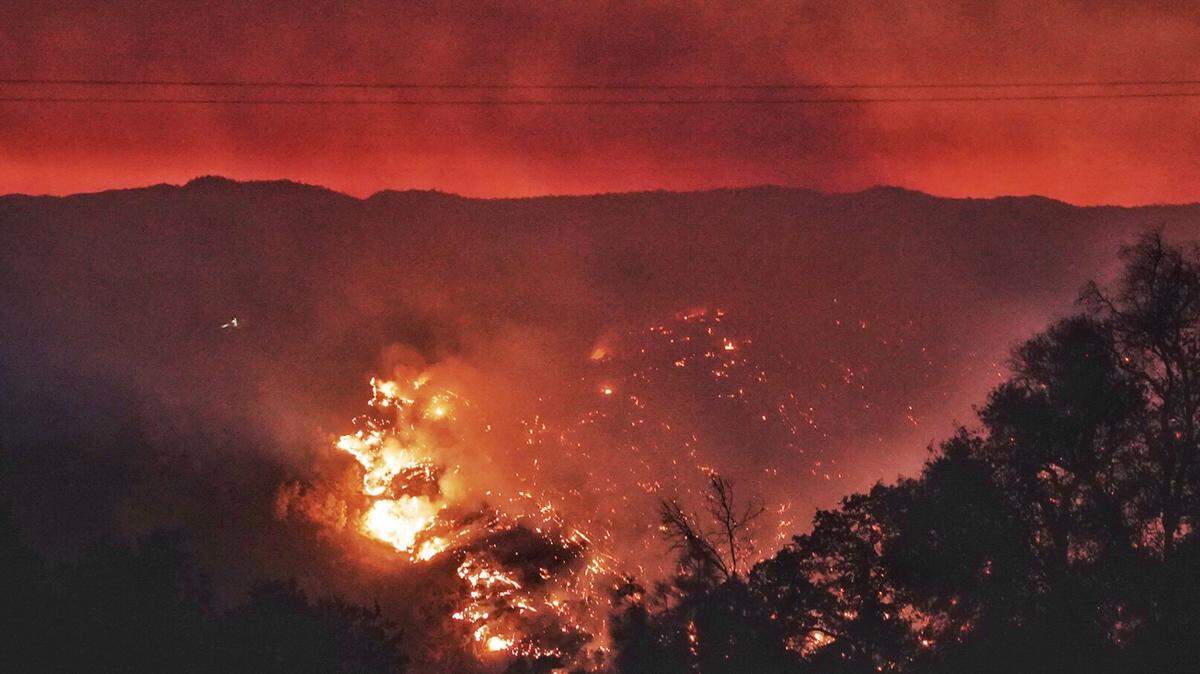
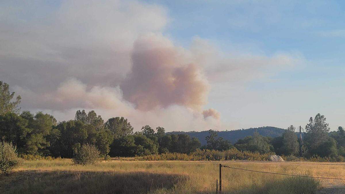
Fire crews are battling a massive blaze burning across oak and grass woodland in the Sierra Nevada foothills of Mariposa and Madera counties as the National Weather Service warned of “dangerously hot conditions,” and high temperatures reaching 109 to 114 degrees in the nearby Yosemite Valley.
Here are five things to know about the River Fire.
River Fire spread faster than Creek Fire
This a was quick-spreading fire. In the span of just a few hours Sunday, the fire grew from about 10 acres to roughly 2,500. By Monday morning the fire had grown to 4,000 acres and was just 5% contained according to Cal Fire.
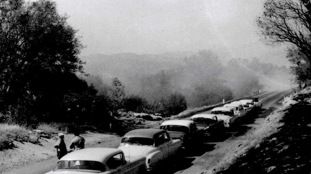
The pace of the River Fire exceeded the early pace of last year’s Creek Fire, which was infamous for its growth rate on its way to becoming the largest single fire incident in state history.
The acreage was increased to 9,000 and containment to 10% on Monday night.
Where is the River Fire?
The fire was first reported in the area of Oak Grove Road and Oak Grove School Road within a dozen miles from several communities including Mariposa (about 10 miles away). Raymond in Madera County is nine miles away; Ahwahnee is about eight miles to the east of the fire area and Oakhurst is about 11 miles away.
The southern entrance to Yosemite National Park, on Highway 41, is about 16 miles to the northeast of the fire.
Evacuations in Madera County but ease in Mariposa County
Mandatory evacuation orders were in place in parts of Madera County. As of Monday afternoon they include:
IRoad 800; Road 810; Road 812; Road 60 and Apache Road to 612 both sides.
An evacuation warning is in place for Road 600, Road 612 and Road 415 in Madera County. Residents in those areas should prepare for possible evacuation.
So far, four structures and four outbuildings have been destroyed by the fire, though it is not clear where those structures were located.
In Mariposa County, the Sheriff’s Office on Monday afternoon announced all mandatory evacuation orders had been reduced to a fire advisory.
This includes Stumpfield Mountain Road, Indian Peak Road and Oak Grove Road. Residents are encouraged to remain aware of fire activity and be prepared to leave should conditions change.
Find an updated list of evacuations here, as of Monday afternoon.
The number of firefighters on scene nearly doubled
Cal Fire has nearly doubled the number of firefighters battling the blaze. As of Monday, there were 477 personnel attached to the fire. There are seven helicopters, nine water tenders, 12 dozers and 83 engineers had been added to the efforts.
Other wildfires burning in the West
The River Fire is just one of a dozen active wildfires Cal Fire is currently battling across the state and one of dozens burning across the West, according to the Interagency All-risk Incident Information Management system, which tracks wildfires.
The Bootleg Fire, across the border in Oregon, has burned 153,535 acres since it started last week and has been threatening California’s power grid.
This story was originally published July 12, 2021 at 12:29 PM with the headline "5 things to know about the River Fire burning in Sierra Nevada foothills."